
HOME


|
HOME
|
|
|
|
|
|
P R O F I L E |
||||
|
 WATER TOWERS IN BRITAIN
Barton map number 3
In order to display a database of water towers, Britain has been divided into county groups with each group on a separate web page. The starting point is the towers identified in Barton B. (2003) Water Towers of Britain, The Newcomen Society. This data has then been updated.
Email: bruce@thespas.co.uk (click here to send an email) Website: Click Here ADDITIONAL INFORMATION Avon 1. Weston Woods 2. North Weston GONE 3. Cadbury 4. Failand 1&2 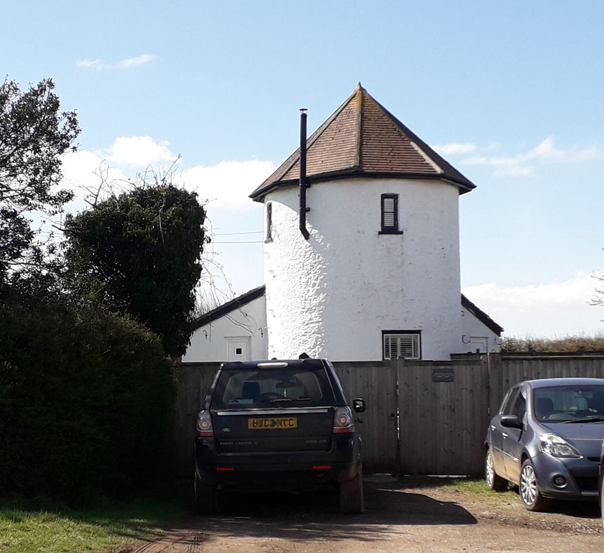 REDHILL WATER TOWER (03AV05) REDHILL WATER TOWER (03AV05)Redhill, Bristol BS48 3DY. This former water tower is a short distance from Bristol Airport main vehicular entrance. It lies at the top of a modest hill that is farmed. As such it acts as a sentry to the modern day traffic into the airport. It is now part of a dogs boarding kennels. 6. Dundry Hill GONE 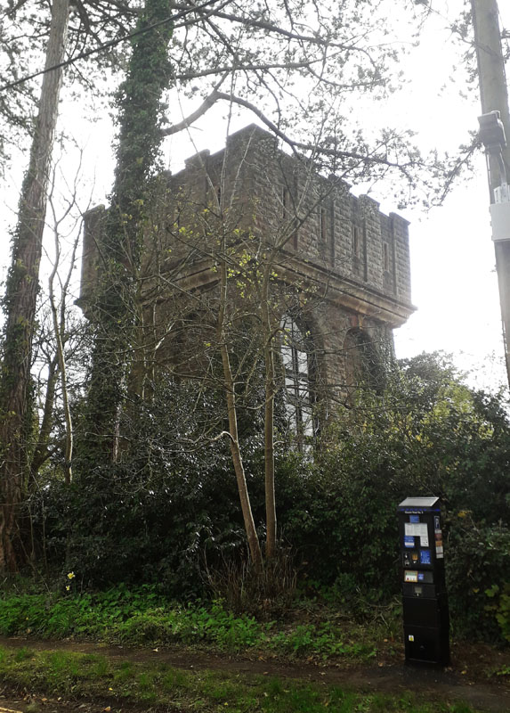 LEIGH WATER TOWER (03AV07) LEIGH WATER TOWER (03AV07)St. Mary's Road, Leigh Woods, Clifton, Bristol. BS8 3PY. Built in 1868, four years after the Brunel suspension bridge over the Avon, which is nearby. The original Reservoir was built by the Bristol Waterworks Company in 1850. Clean water came from a spring at Barrow Gurney and ran to the pumping station in Clifton. This tower provided pressure for the distribution but is now residential. 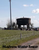 MALVERN WATER TOWER, Chew Hill, AVON, U.K.
(03AV08) FOR DETAILS GO TO OUR MALVERN WATER TOWERS WEB PAGE by clicking the picture left. 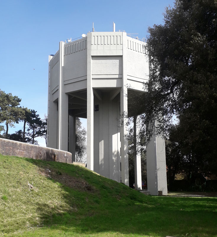 DURDAN DOWN WATER TOWER (03AV09) DURDAN DOWN WATER TOWER (03AV09)Stoke Road, Clifton. BS9 1FG. Avon. Located on Durdan Down, a public open space, this tower is a startling landmark. It was constructed in 1954 and has a capacity of about 2.73 million litres of water. 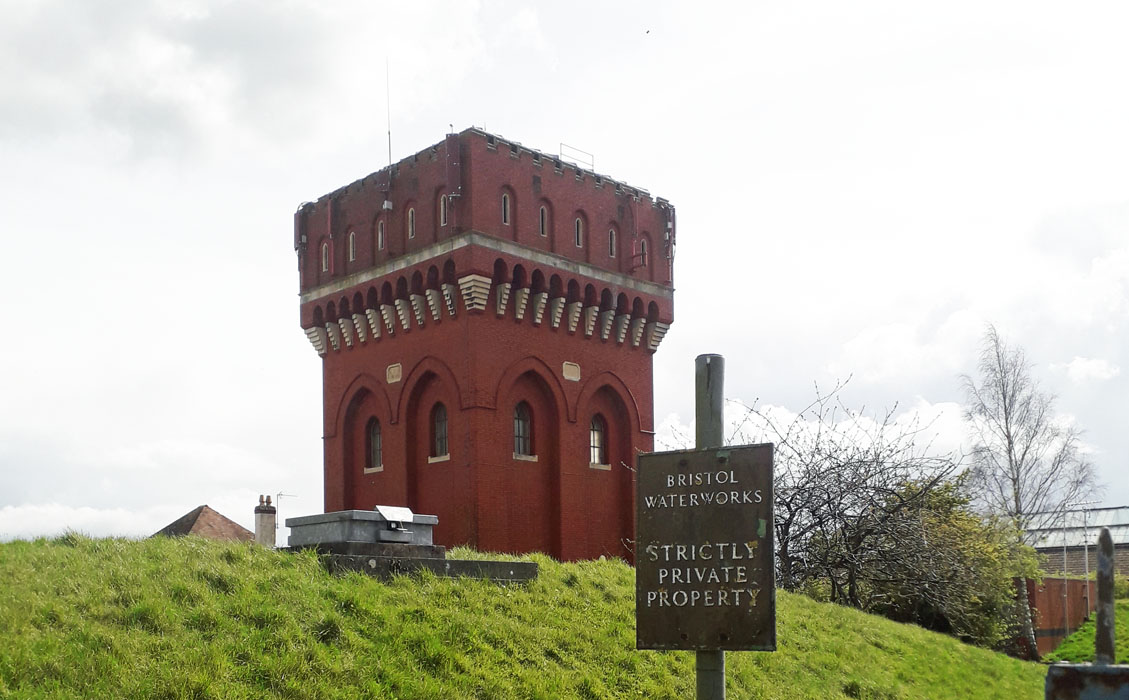 KNOWLE WATER TOWER (03AV10) KNOWLE WATER TOWER (03AV10)Jubilee Road, Knowle, Bristol, BS4 2LP. This tower and its adjacent reservoir, lies prominently in an urban area on a hill top south of Bristol. It was built in 1905 and is operated by Bristol Water Company. Grade II listed. 11. Lodge Hill Kingswood GONE 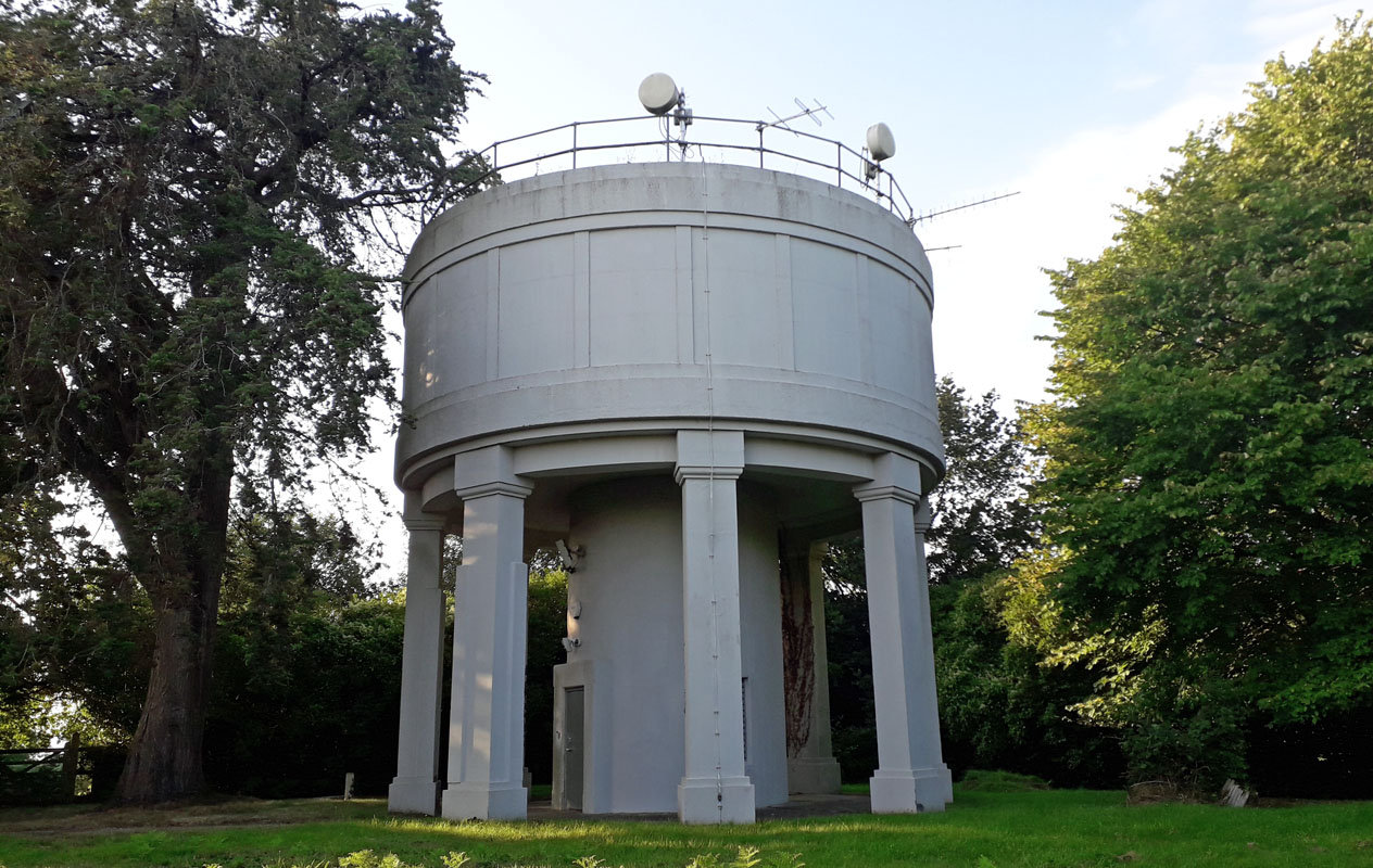 MILBURY HEATH WATER TOWER (03AV12) MILBURY HEATH WATER TOWER (03AV12)This tower lies on the north-west side of the A38, just off the M5 motorway, on a hill top near the village of Milbury Heath. It is surrounded by trees and difficult to gain access to. Grid reference: ST 6594 8962. 13. Tunley Camerton - not found. 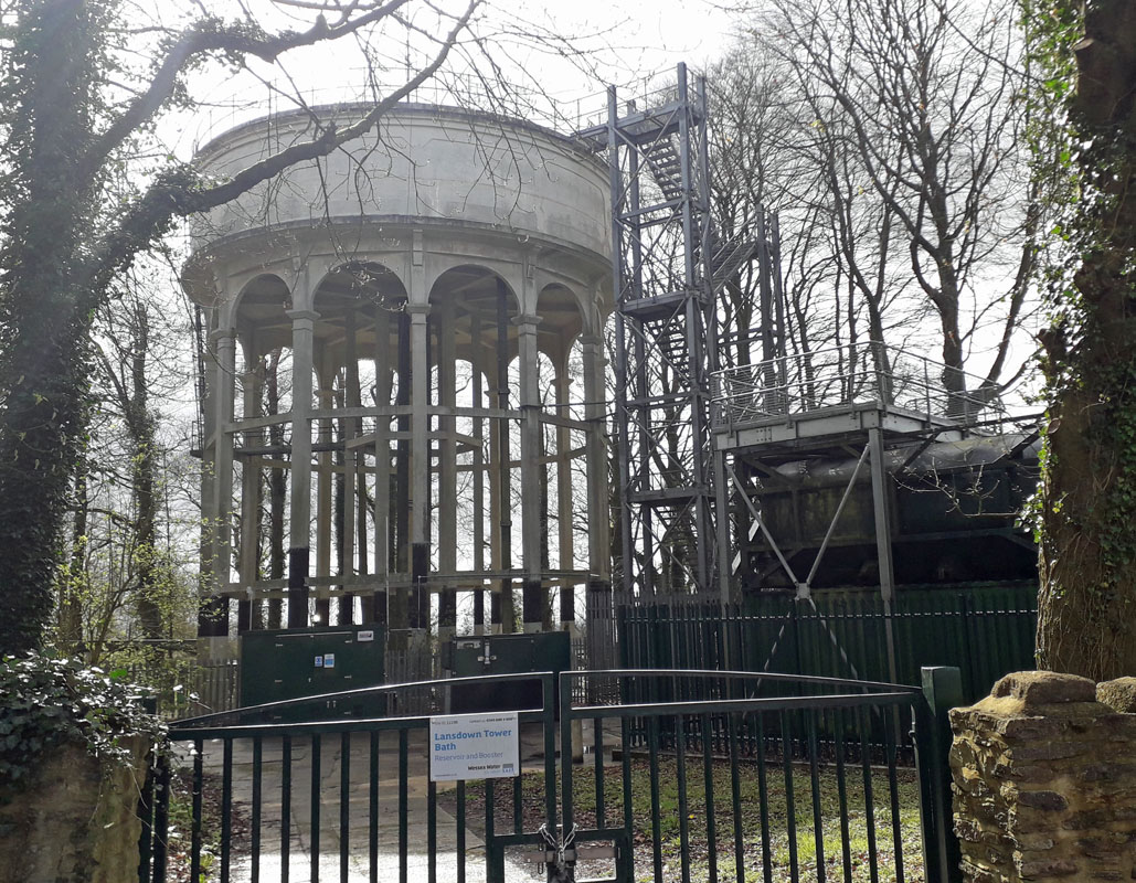 LANDSDOWN WATER TOWER (03AV14) LANDSDOWN WATER TOWER (03AV14)Lansdown Hill, Bath. Head north-west out of Bath towards Wick. Lansdown Hill is encountered after about two miles. The tower, alongside the road, is managed by Wessex Water. Grid Ref 725685. 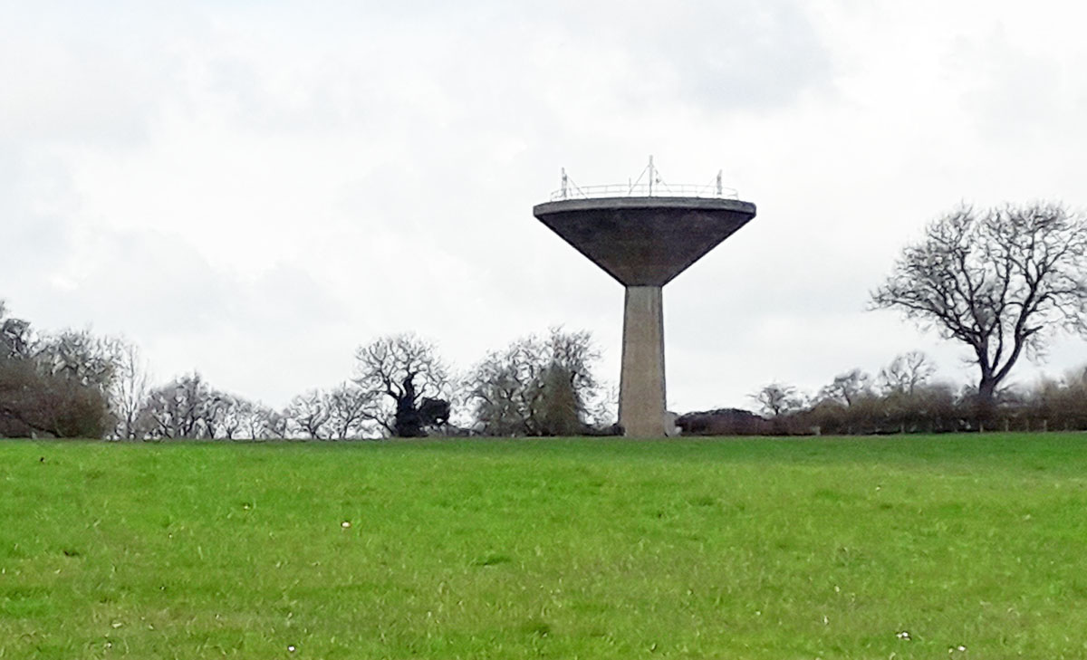 MIDFORD WATER TOWER (03AV15) MIDFORD WATER TOWER (03AV15)Although described as in Midford, this tower lies east of Midford nearer the A46 north - south road and Limpley Stoke. The nearest access is Peipards Farm, which is private property. Grid Ref 773604. 16. Hinton Charterhouse GONE 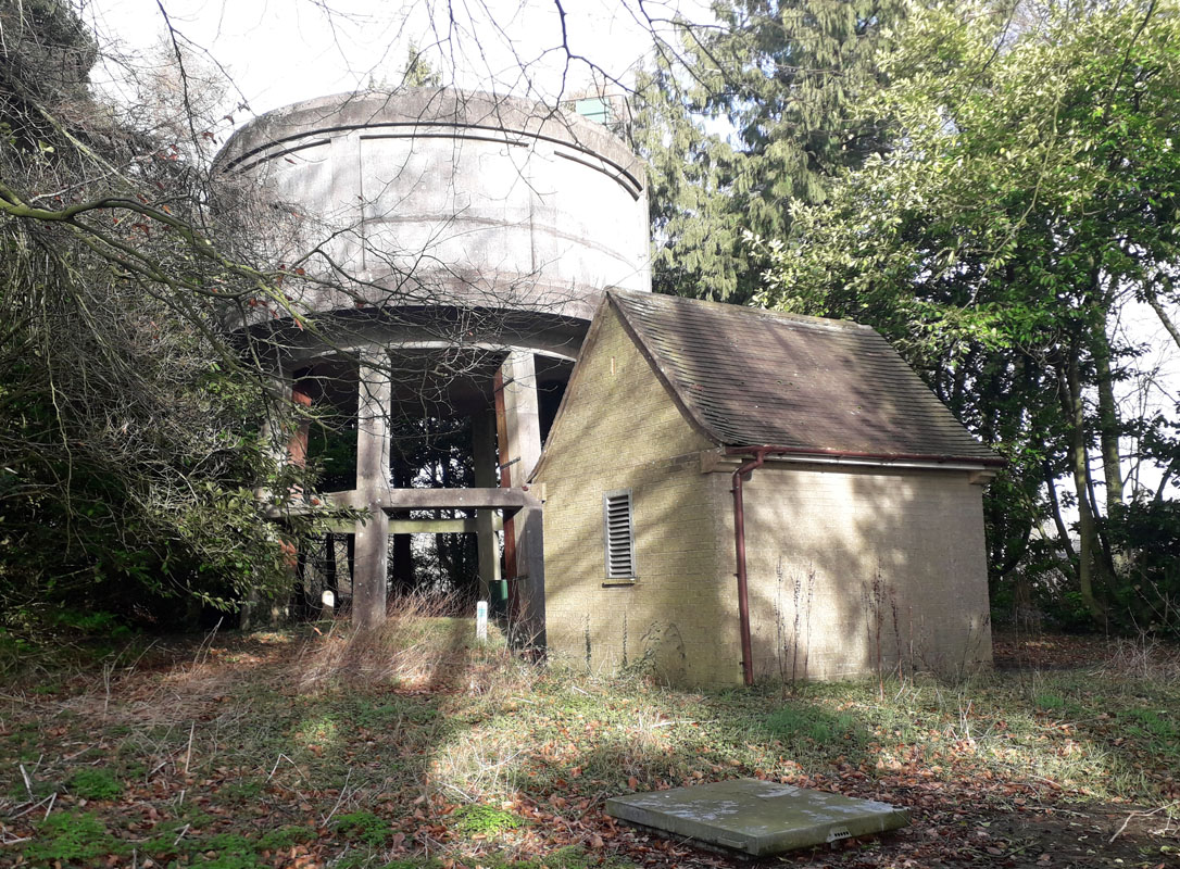 MARSHFIELD HEATH WATER TOWER (03AV17) MARSHFIELD HEATH WATER TOWER (03AV17)About 10 miles north of Bath. This tower lies on the southern side of the A 420 road at the western end of the village High Street. Grid Ref. 774736. It is managed by Bristol Water and is surrounded by trees and difficult to gain visual access to. 18. Tresham GONE 19. Filton NOT FOUND 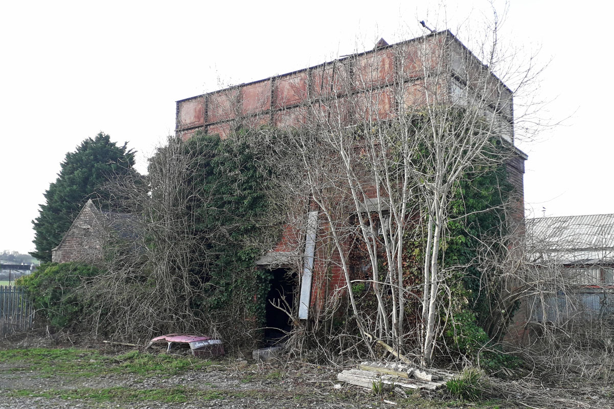 CHARFIELD STATION WATER TOWER (03AV20) CHARFIELD STATION WATER TOWER (03AV20)This brick built tower lies in the yard of what was once Charfield railway station on the north-south main line, about three miles west of Wotton-under-Edge. Charfield station first opened on the Bristol and Gloucester line on 8 July 1844. Today the railway survives, unlike the station. The tower is Grade II listed. Grid Ref. 725923. Wiltshire 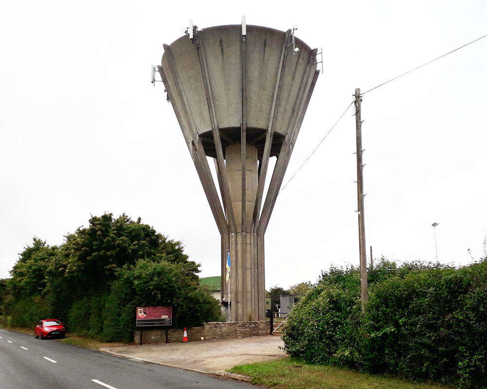 COLERNE WATER TOWER (03WT01) COLERNE WATER TOWER (03WT01)The tower lies just outside the village adjacent to the Rugby Football Club field and south of Colerne Airfield. It stands about 100 feet high and replaced an earlier tower built to supply water to the local community. From the village centre head west. It is managed by Wessex Water. 2. Chapmanslade GONE 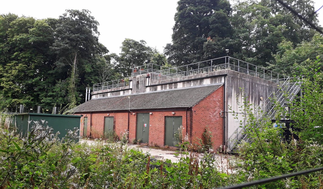 RUDLOE WATER TOWER (03WT03) RUDLOE WATER TOWER (03WT03)Rudloe lies on the A4 trunk road about 5 miles west of Chippenham. Heading west, the site is on the right as you enter the village. Unfortunately there is now longer a water tower on the site; it having been replaced with a concrete reservoir. Grid ref. 845704 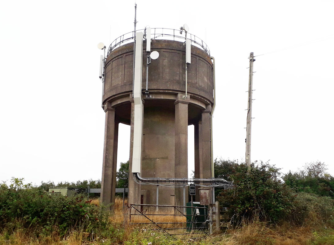 SHERSTONE WATER TOWER (03WT04) SHERSTONE WATER TOWER (03WT04)The village of Sherstone lies about 5 miles west of Malmesbury. The tower is situated a further half mile due west from the village centre. Grid ref. 848863. It is managed by Bristol Waterworks. 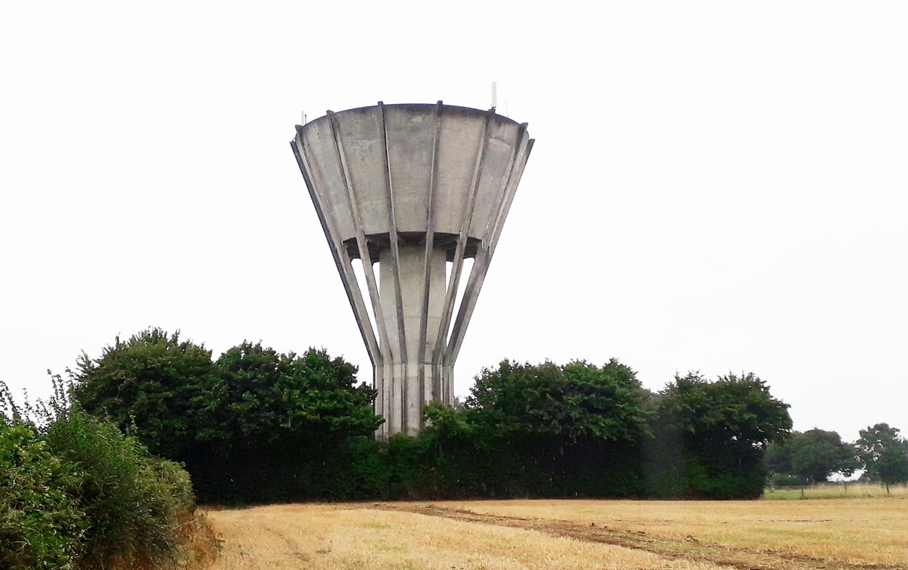 YATTON KEYNELL WATER TOWER (03WT05) YATTON KEYNELL WATER TOWER (03WT05)This tower lies about three quarters of a mile north of the village of Yatton Keynell on the road to Grittleton. The tower is about a mile south of the M4 motorway and about 5 miles south-west of Malmesbury. Grid ref. 865776. Standing about 100 feet high, it is similar to the tower at Colerne, It is managed by Wessex Water. 6. Upton Scudamore - not found - probably replaced by Wessex Water ground reservoir at top of village. 7. Allington - no longer in existence 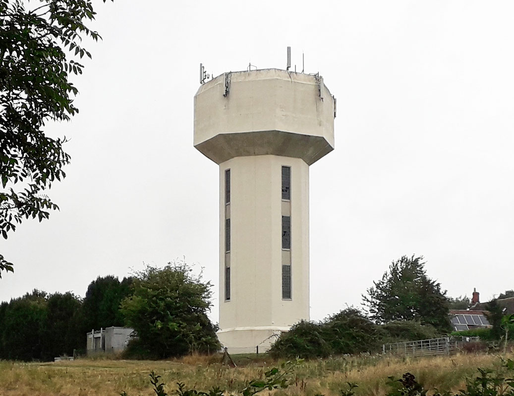 RODBOURNE WATER TOWER (03WT08) RODBOURNE WATER TOWER (03WT08)Located about 3 miles south of Malmesbury, this tower dates from 1957 when it was built. It lies at the western end of the village on the right near the church, where the main street turns right to head up to Corston. Grid ref. ST 93212 83368. 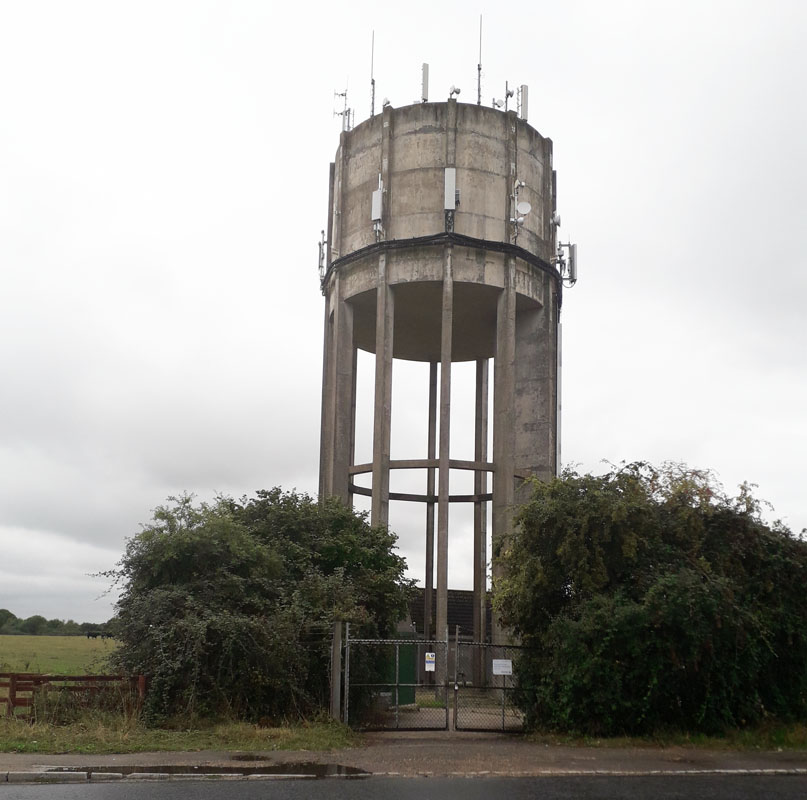 WHYCHURCH WATER TOWER (03WT09) WHYCHURCH WATER TOWER (03WT09)Located on the north side of Malmesbury, this water tower is adjacent to the A429 road where it meets the B4040, opposite a BP garage. It is managed by Wessex Water. 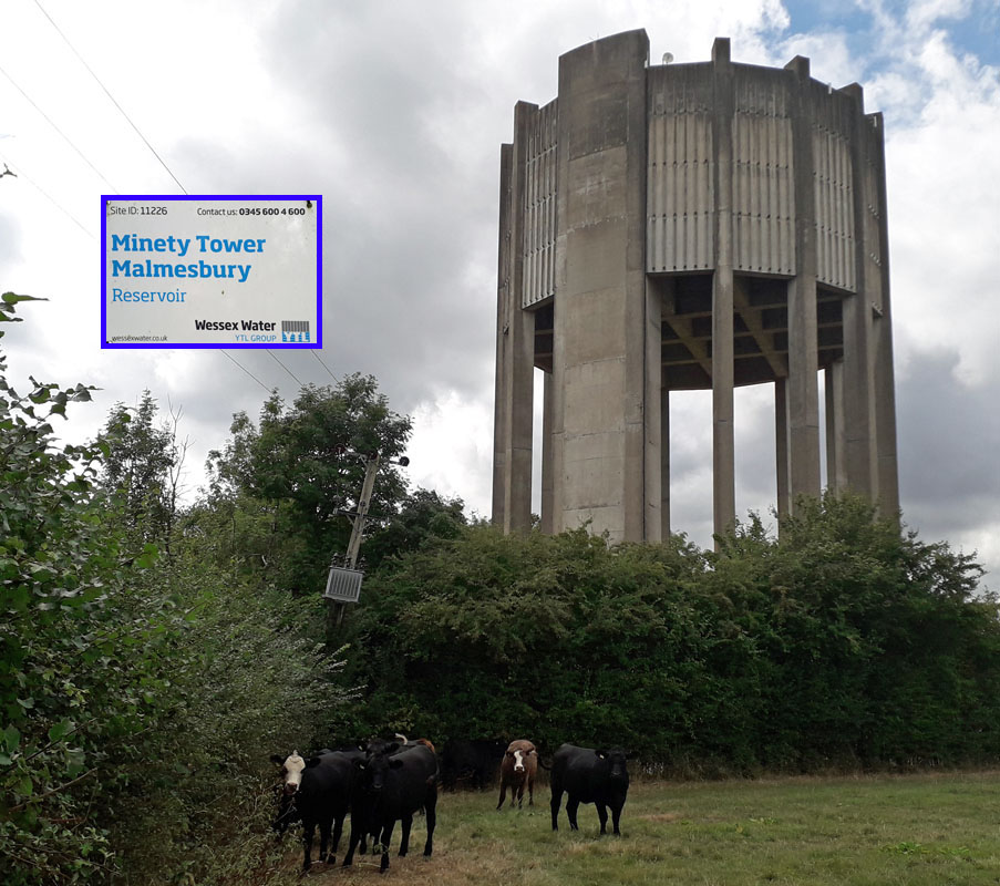 MINETY WATER TOWER (03WT10) MINETY WATER TOWER (03WT10)Located alongside the road in Minety, (grid ref 0290), about 6 miles north-west of Wootton Bassett, Wilts. In 2011 the tower became famous when water quality engineering firm Panton McLeod completed another first after cleaning this tower with robotic technology. The firm used its VR600 cleaning robot to clean the interior of a water tower for Wessex Water while it was still active and in service, ensuring minimal disruption for customers. The project was the first time that Panton McLeod had ever used the innovative machine to clean an elevated water storage structure in the UK. In order to access the facility, the firm had to hire a crane in order to lift the robot to the top of the 35 meters high tower before disinfecting the machine and lowering it into the structure. The tower and village are named after the mint that grows wild in the area. CLYFFE PYPARD WATER TOWER (03WT11) GONE This water tower is no more, having been removed in the 20th century. 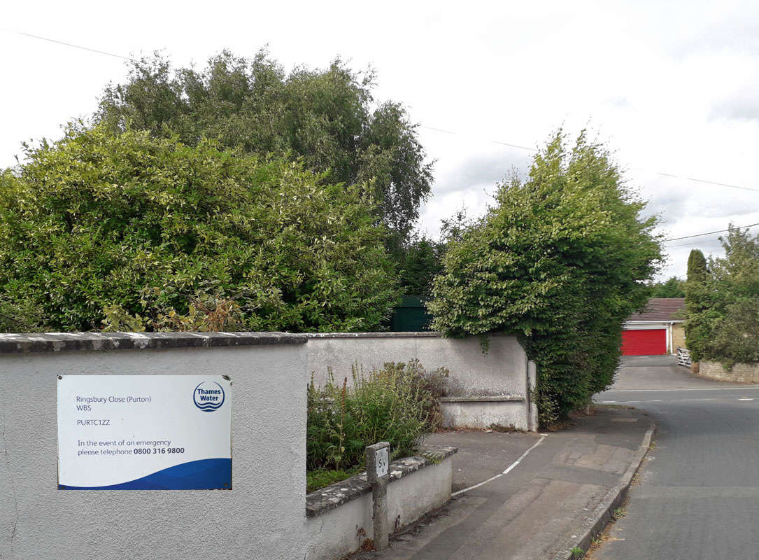 PURTON WATER TOWER (03WT12) GONE PURTON WATER TOWER (03WT12) GONERingsbury Close, Paven Hill, Purton. About 4 miles north of Wootton Bassett, this tower found itself in the middle of a housing development. Although a significant landmark, is disappeared and is no more. Only the site remains. 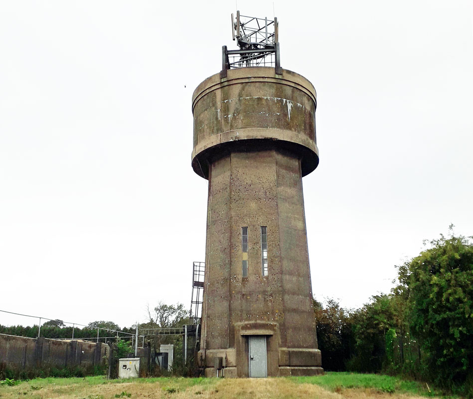 BROAD HINTON WATER TOWER (03WT13) BROAD HINTON WATER TOWER (03WT13)Broad Hinton lies about 6 miles south-west of Swindon a short distance off the A361. The water tower can be found a short distance up Manor lane, a cul-de-sac that leads to manor Farm near the village centre. Grid ref. SU 1077. It is managed by Thames Water. 14. Bishopsdown Salisbury GONE 15. Winterslow 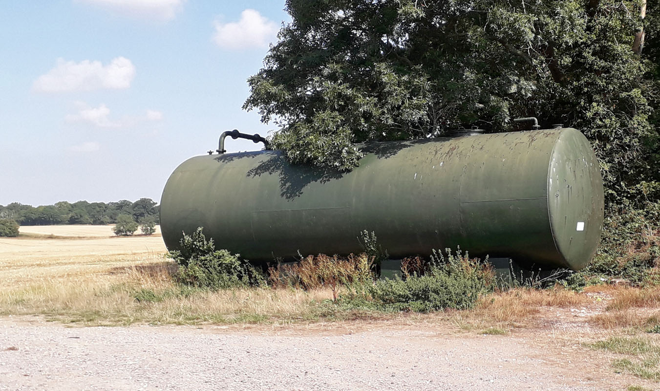 RAMSBURY/FROXFIELD TANK (03WT16) RAMSBURY/FROXFIELD TANK (03WT16)Not your usual water tower, this tank lies just off the road from Ramsbury to Froxfield, about one mile north-west of Froxfield. It is used in conjunction with fertilising local fields. Grid ref. 289687.  WEXCOMBE DOWN WATER TOWER (03WT17) WEXCOMBE DOWN WATER TOWER (03WT17)On the main road that gives access to the village of Wexcombe, just south of the turnings for the village. Grid ref. 268588. Not your usual water tower, this appears to be a roadside fenced reservoir and valve tower for use in conjunction with a water tower that was once located at Tow Barrow on Wexcombe Down, about a mile south-east. The plaque on this structure confirms the naming and is dated 1899.  BAYDON WATER TOWER (03WT18) BAYDON WATER TOWER (03WT18)Baydon village is located alongside the M4 motorway west of junction 14, on the old Roman road. It is managed by Thames Water. The tower is sited to the east of the village which lies on the south side of the motorway. 19. Hullavington 20. Swindon Railway Works 1 DEMOLISHED 1986 21. Swindon Railway Works 2 DEMOLISHED 1986  CHILTON FOLIAT WATER TOWER (03WT22) CHILTON FOLIAT WATER TOWER (03WT22)The village of Chilton Foliat lies a mile or so north of Hungerford in Wiltshire. To find this tower head east through the village; avoid turning right and crossing the river. After half a mile take Old Hayward Road to the left. The water tower is on the left before you get to Old Hayward Farm. It is now converted to residential. 
 STONEHENGE WATER TOWER (03WT23)
Heading west along the A 303, Stonehenge is encountered on the right, just after Amesbury. Here the road goes to single carriageway as visitors ponder this ancient monument from their cars. After this experience, the road soon reverts to dual carriageway and it is here that this tower can be seen on the north (righthand) side of the A 303 near Winterbourne Stoke. Grid Ref. 0540. 
Water Towers come in many shapes and sizes.. FACILITIES Access all Year, Access by Road LANDSCAPE Coastal, Country town/village, Lowland, Quality Natural Environment, Rural REGION England - Southern |
||||
|